
Service guide Life · County
Pete’s Pond has drained: a changed landscape at White Oak Mountain
Virginia DWR’s current area page identifies a future wetland direction. Visitors should check the changed conditions before planning a pond outing.
Checking whether this browser can read the story aloud.
Explore related topics
Cultural & community review
Assessment passed This recorded version passed its cultural and community assessment.
Read the assessment record & limits
- This record applies to the identified content revision. Later changes require another assessment.
- CIE reviews cultural and community context. It does not score people or certify every fact.
- Source, rights and publisher review remain separate.
- Asset
- gj:article:white-oak-mountain-outdoor-classroom
- Engine
- ct.algorithm.cie.v1 · 1.0.1
- Receipt
- 75a53025-87a7-4c04-ad42-b30c7d6e4b1a
- Assessed
- Revision
- sha256-402cf6afc9b38ab47e6c46bf2066637560b73ccf969b18d06c56bbb56b923438
- Record state
- eligible · PASS
- Binding
- BOUND
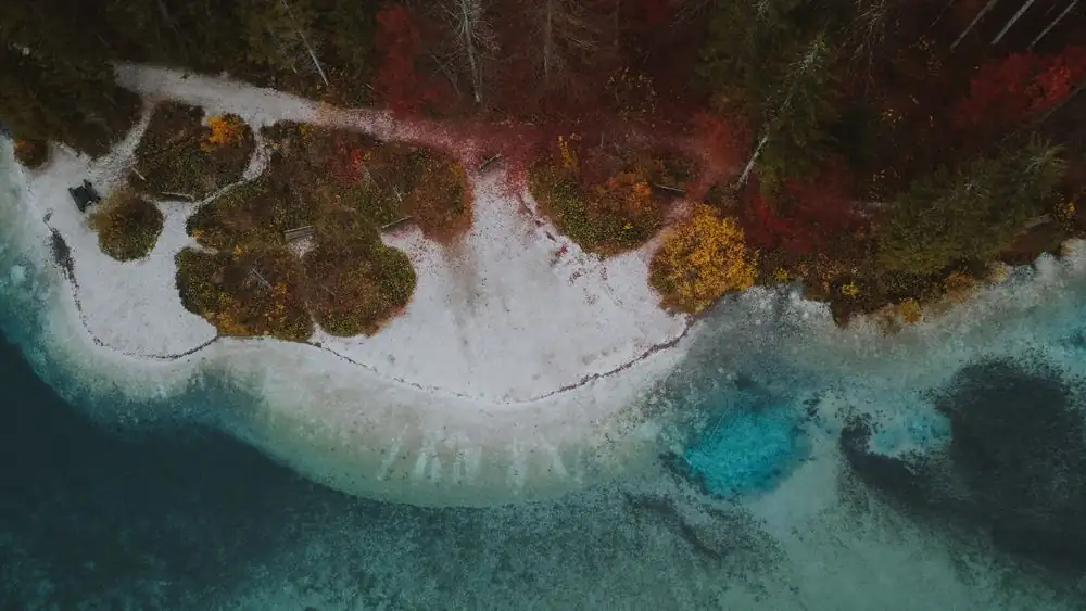
Photograph · source and license
The image, credit, reuse license, editorial context and delivered file are recorded in the exact Sites editorial review. This review is separate from the article’s canonical CIE assessment.
Image and publication standards →At a glance
- The wildlife area covers 2,748 acres.
- Habitat management is part of the landscape's story.
- Outdoor access and conditions require current official information.
In this story
The current condition
Virginia DWR says Pete’s Pond at White Oak Mountain Wildlife Management Area has drained and is intended for future management as a wetland impoundment. The agency has not supplied a completion date in the reviewed description.
A planned wetland is not a completed restoration.
This changes how an older account of the pond should be used. An archival photograph or past fishing description can document what was there without establishing that the same conditions exist now.
Before a visit
Use DWR’s current area page for access requirements, posted regulations and condition changes. The larger wildlife management area offers several ways to explore the landscape; the status of one pond should not be converted into a claim that the entire area is closed.
For the Junction archive, the useful next record is a dated agency update or a permissioned photograph with a clear date and location. Habitat decisions remain with DWR.
Community observations can add context, but they should not be presented as agency findings.
Sources & verification
Primary institutional record checked September 13, 2026.
Read the sourceThis article was written with AI assistance from the linked sources. No firsthand interview or visit is implied. Source dates and limits are identified in the reporting. Advertising does not determine editorial coverage. Request a correction or read our standards.
EVERY NEIGHBOR HAS A VOICE
Keep the conversation going.
Share experiences, ask questions and link evidence for factual claims. Automated publication checks apply to each submitted version. Comments are independent community discussion, not submissions to a government body.
Sign in to join · freeCommunity standards