
Service guide Sports · County
At White Oak Mountain, a walk can become a lesson in wildlife habitat
The public land southeast of Chatham offers woods, fields and ponds—with access rules worth checking before a first visit.
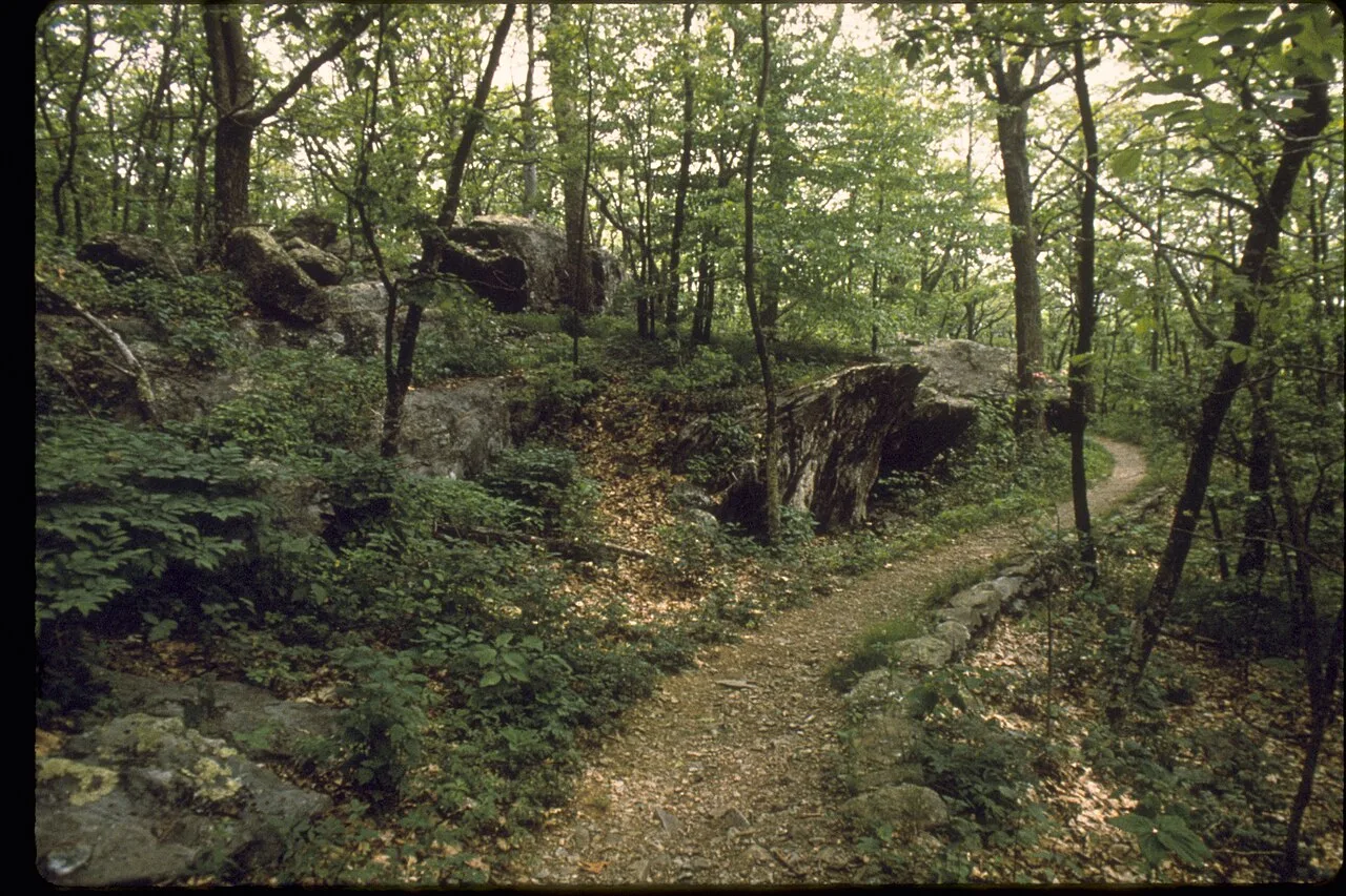
Image provenance · CIE 100/100
Assessment applies to the credited image record and its editorial context. Image delivery and the pictured event’s current status are not certified by a score. Receipt: 09639212-20e8-49c6-b9cb-052e36a38d9e
Image & publication standards →At a glance
- DWR describes a 2,748-acre area with roads and trails for wildlife viewing.
- Habitat work helps explain the changing pattern of woods and open ground.
- Visitors should check the access requirement and current closures.
In this story
Read the landscape as you walk
White Oak Mountain Wildlife Management Area gives Gretna-area residents a place to look closely at the county’s working wildlife habitat. About five miles southeast of Chatham, the 2,748-acre property includes rolling ground, mixed forest, open areas and ponds.
The Banister River forms its northwestern boundary.
Virginia’s Department of Wildlife Resources describes planted fields, prescribed burning and other land management as tools for supporting wildlife. That makes the edge between a field and woodland part of the attraction.
On a visit, notice changes in plant height, cover and shade, then watch how birds use those spaces. The agency identifies hiking, birdwatching and nature photography among the area’s activities.
Plan for a wildlife management area
DWR’s access page says visitors 17 and older generally need an access permit unless they hold a qualifying Virginia hunting, freshwater fishing or trapping license, a current Virginia boat registration, or another applicable waiver. Check your own eligibility before purchasing a separate permit.
The agency also directs visitors to its closures and notices before traveling. Wildlife management can temporarily limit access, and this property accommodates hunting.
Read signs at your entrance and use the current area map. For a first outing, choose a short route you can retrace, carry water and leave time to stop and observe.
Cultural & community review
Assessment passed This recorded version passed its cultural and community assessment.
- Reviews the cultural and community context of this editorial item.
- Source, rights and publisher checks remain separate.
- It does not score people or certify every fact.
Read the assessment record & limits
- This record applies to the identified content revision. Later changes require another assessment.
- Asset
- gj:article:white-oak-mountain-habitat-walk-2026
- Engine
- ct.algorithm.cie.v1 · 1.0.1
- Receipt
- d8e188d2-f723-4bfc-943d-ef8428230bf1
- Assessed
- Revision
- sha256-27163739910a3ae2813d421eab2ebdda51452816884cc2a418beea3accdf422e
- Record state
- eligible · PASS
- Binding
- BOUND
Sources & verification
Undated; checked September 7, 2026. Official property description, habitat management and visitor activities.
Read the sourceUndated; checked September 7, 2026. Official access eligibility and instruction to check closures.
Read the sourceThis article was written with AI assistance from the linked sources. No firsthand interview or visit is implied. Source dates and limits are identified in the reporting. Advertising does not determine editorial coverage. Request a correction or read our standards.
EVERY NEIGHBOR HAS A VOICE
Keep the conversation going.
Share experiences, ask questions and link evidence for factual claims. Automated checks assess each version; posts that pass publish immediately with their CIE score and reasons. Comments are independent community discussion, not submissions to a government body.
Sign in to join · freeCommunity standards