
Explainer Science · Virginia
Drought is measured through several clocks: read the indicators before the category
Rainfall, streamflow, soil moisture and longer climate patterns can disagree for a time. The U.S. Drought Monitor synthesizes evidence; it is not a local rain gauge or a forecast by itself.
Checking whether this browser can read the story aloud.
Explore related topics
Sources & editorial review
Sites editorial review recorded for this exact revision. This AI-assisted article or learning resource includes source links and credited contextual imagery.
This is a local editorial review, not a canonical Cultural Imprint Engine assessment. No CIE score is claimed. Source review does not verify third-party playback, provider availability or image pixels.
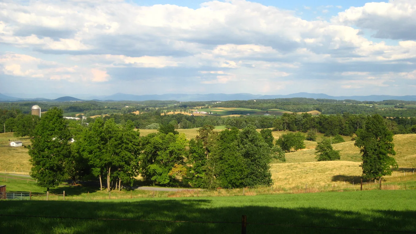
Photograph · source and license
The image, credit, reuse license, editorial context and delivered file are recorded in the exact Sites editorial review. This review is separate from the article’s canonical CIE assessment.
Image and publication standards →In this story
Drought is a relationship over time
A dry afternoon is weather. Drought describes an unusual shortage of water relative to normal conditions and need across a longer period.
Meteorological, agricultural, hydrological and ecological drought can emerge on different clocks. That is why a lawn can look stressed while a reservoir remains stable, or streamflow can stay low after rain returns.
Before using a category, ask which system is being measured, over what window and against which normal period. A map date and release date both matter.
Drought conditions can change between weekly products, and one thunderstorm may be important locally without ending a regional deficit.
Season also changes meaning. A rainfall deficit during crop establishment, summer heat or cool-season recharge can have different consequences.
The same numerical departure should be reported with its period and affected system, not converted into a universal severity statement.
Drought is distinct from heat, though the hazards can reinforce each other. A hot week can raise demand and plant stress without changing every hydrologic indicator immediately.
Report heat advisories from the weather authority and drought status from the drought products instead of blending them into one unofficial alert. The same separation applies to wildfire danger and water restrictions, which have their own responsible authorities and dated current public notices for directly affected specific communities.
Precipitation totals need a reference
A rainfall total becomes meaningful when compared with the expected amount for the same place and season. One inch can be substantial in a dry month and inadequate after a long deficit.
Gauge coverage also varies. A station several counties away may not represent a localized storm.
NOAA’s climate data tools provide station observations and normals. Record station, element, dates, units and missing data.
Do not interpolate a household total from a county average. If a station moved or changed instruments, metadata can matter to a long comparison.
Streamflow shows watershed response
USGS streamgages measure water conditions at specific locations. Streamflow responds to recent rain, upstream storage, groundwater, withdrawals and watershed characteristics.
A percentile can compare current flow with historical values for that day, but the record length and site conditions shape the comparison.
A gage reading does not establish conditions in every tributary or a private well. Note whether the value is provisional.
Do not convert a low percentile into a legal restriction or safety finding. Local or state authorities issue those decisions through their own current notices.
Soil moisture connects weather and plants
Soil moisture can decline before larger water bodies show stress. It varies by depth, soil type, vegetation and recent weather.
Agricultural impacts also depend on crop stage and management. A modeled soil-moisture map is not a field inspection of every farm.
When reporting crop effects, pair indicator data with official agricultural reports or attributed producer observations. Do not estimate losses from a color scale.
A documented impact belongs to a date, commodity and location, and economic claims require their own evidence.
The Drought Monitor is a synthesis
The U.S. Drought Monitor is produced through a convergence-of-evidence process that considers multiple indicators and local input.
Categories range from abnormally dry to exceptional drought. The map is released weekly and describes conditions, not a deterministic forecast of what comes next.
County shading can be visually precise while the underlying boundary is interpretive. A line crossing a county does not mean conditions change abruptly at the line.
Report the map date, category and approximate area without implying parcel-level certainty.
Impacts help test the indicators
Drought categories are informed by observed impacts such as water supply, agriculture, wildfire conditions and ecosystems. Impacts are also shaped by infrastructure and management.
Two places with similar rainfall can experience different consequences because storage, soils and demand differ.
A single social post is a lead, not a regional impact record. Seek the responsible water system, agricultural agency, fire authority or conservation office.
Attribute observations and avoid publishing private well or farm details that could expose households without adding public value.
Forecasts and outlooks are separate products
A weather forecast describes expected conditions over days. Seasonal outlooks describe probabilities over longer periods.
Drought outlooks consider persistence or improvement. None guarantees rain at a property or a category change on a particular date.
Keep observed conditions separate from forecast probability.
When the forecast window passes, archive the prediction rather than presenting it as current. Compare outcome only with the original probability and scope.
A forecast can be skillful without matching every locality, and one miss does not by itself establish negligence.
Household and civic actions require official triggers
Residents can monitor official notices, protect private wells, reduce avoidable water use and follow fire-safety guidance. But restrictions, burn bans and conservation stages come from identified authorities.
A Drought Monitor category alone should not be rewritten as a local rule.
Local governments and utilities can publish the trigger, affected area, effective time and end condition. News coverage should link the live notice and remove it from current shelves when it expires.
Preparedness advice can remain evergreen when clearly separated from active restrictions.
What the indicators establish
The checked sources establish how drought indicators, climate observations, streamflow and the weekly synthesis relate. They do not establish a current private-well level, crop loss, restriction, future rainfall or blame for a local impact.
Those claims require the appropriate current record.
Scientific reading improves when disagreement among indicators is treated as information rather than error. Different clocks reveal different parts of the water system.
A source-led story shows those clocks, dates and limits so readers can understand change without mistaking a weekly map for a promise.
Sources & verification
Official explanation of multiple drought indicators and timescales.
Read the sourceInstitutional description of the weekly convergence-of-evidence process.
Read the sourceOfficial station observation and climate-normal access.
Read the sourceOfficial streamflow and hydrologic condition data; readings may be provisional.
Read the sourceThis article was written with AI assistance from the linked sources. No firsthand interview or visit is implied. Source dates and limits are identified in the reporting. Advertising does not determine editorial coverage. Request a correction or read our standards.
EVERY NEIGHBOR HAS A VOICE
Keep the conversation going.
Share experiences, ask questions and link evidence for factual claims. Automated publication checks apply to each submitted version. Comments are independent community discussion, not submissions to a government body.
Sign in to join · freeCommunity standards