
Local guide Life · Virginia
You can enjoy the Peaks of Otter without climbing a summit
Abbott Lake provides a lower-key way to spend time in the Blue Ridge landscape.
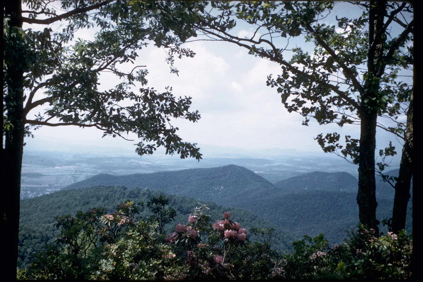
Image provenance · CIE 100/100
Assessment applies to the credited image record and its editorial context. Image delivery and the pictured event’s current status are not certified by a score. Receipt: 5356f470-acad-4259-bac9-c89a75fb44f5
Image & publication standards →In this story
Choose the lake as the destination
A trip to the Peaks of Otter does not have to revolve around reaching a summit. The National Park Service identifies the Abbott Lake Trail as the least difficult route in the area: a one-mile loop through woodland and open space around the lake.
It is also listed as an accessible trail and a family-oriented TRACK Trail.
That offers a different kind of mountain day. Visitors can spend time observing the landscape at ground level rather than treating the view as a reward available only after a demanding climb.
Check the whole route
An accessibility designation is helpful, but it does not replace checking current conditions and individual needs. Ask about the surface, approaches, temporary closures and facilities relevant to the group.
A one-mile distance can still be a substantial outing for someone managing fatigue or moving slowly.
Use the Park Service’s current Peaks of Otter information to plan the visit. Do not assume a restaurant, visitor center or other seasonal service is open just because it appears in a photograph or older travel article.
Give children something to notice
Try a simple observation game: find a reflection, a different leaf shape and evidence of how water meets the shore. Look without collecting or disturbing wildlife.
Let children describe what they see before an adult supplies a name. An uncertain identification is an opportunity to check a field guide later.
A notebook can be more useful than a long list of attractions. One drawing made during a quiet stop may hold a child’s attention longer than another rushed destination.
Keep the return trip comfortable
Plan the drive and the walk together, leaving a margin for weather and rest stops. If the lake loop becomes too much, turning around is a reasonable decision.
The outing can still succeed with a shorter view and a shared meal afterward. Save the exact route and facilities that worked, and recheck them before returning.
The Blue Ridge experience includes watching the mountain from below, with enough time to notice the water and the people beside you.
Cultural & community review
Assessment passed This recorded version passed its cultural and community assessment.
- Reviews the cultural and community context of this editorial item.
- Source, rights and publisher checks remain separate.
- It does not score people or certify every fact.
Read the assessment record & limits
- This record applies to the identified content revision. Later changes require another assessment.
- Asset
- gj:article:gj26-abbott-lake-peaks-ground-level
- Engine
- ct.algorithm.cie.v1 · 1.0.1
- Receipt
- a7fa73e3-11c3-4bac-ba27-fcdaf79989c5
- Assessed
- Revision
- sha256-4c2ec7723a1271efbb4f5558625c13631370392619ec6c3131af72f56c365456
- Record state
- eligible · PASS
- Binding
- BOUND
Sources & verification
Official Abbott Lake distance, difficulty and access description.
Read the sourceCurrent destination and facility planning information.
Read the sourceThis article was written with AI assistance from the linked sources. No firsthand interview or visit is implied. Source dates and limits are identified in the reporting. Advertising does not determine editorial coverage. Request a correction or read our standards.
EVERY NEIGHBOR HAS A VOICE
Keep the conversation going.
Share experiences, ask questions and link evidence for factual claims. Automated checks assess each version; posts that pass publish immediately with their CIE score and reasons. Comments are independent community discussion, not submissions to a government body.
Sign in to join · freeCommunity standards