
Explainer Science · Virginia
The Staunton River’s floodplain is part of the river
At Hurt and Altavista, the low ground beside the channel explains both a landscape’s usefulness and its limits.
Checking whether this browser can read the story aloud.
Explore related topics
Sources & editorial review
Sites editorial review recorded for this exact revision. This AI-assisted article or learning resource includes source links and credited contextual imagery.
This is a local editorial review, not a canonical Cultural Imprint Engine assessment. No CIE score is claimed. Source review does not verify third-party playback, provider availability or image pixels.
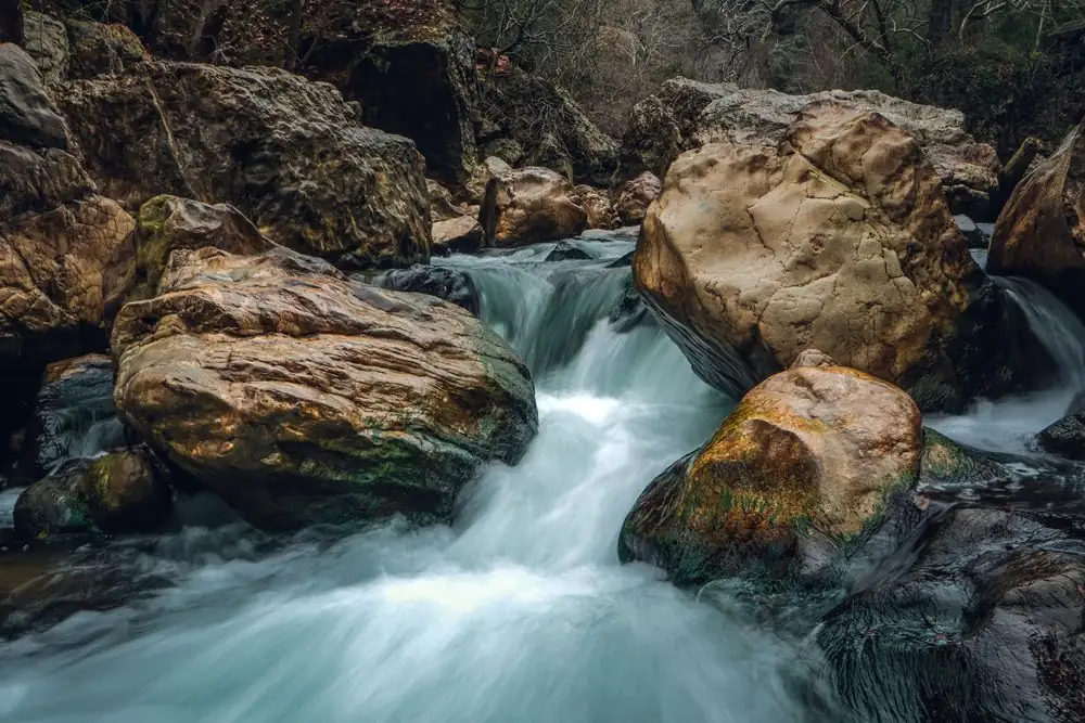
Photograph · source and license
The image, credit, reuse license, editorial context and delivered file are recorded in the exact Sites editorial review. This review is separate from the article’s canonical CIE assessment.
Image and publication standards →At a glance
- The river’s bottomlands can hold water and sediment outside the everyday channel.
- Altavista’s April 2018 park plan explicitly contemplated access infrastructure able to flood.
- Research from other watersheds explains mechanisms, without supplying a local flood forecast.
In this story
The channel is only the everyday river
The Staunton River runs beside communities that know it as a fishing place, a boundary and a route through the landscape. Virginia DWR identifies it as an 81-mile segment of the Roanoke River beginning at Leesville Dam and extending to John H.
Kerr Reservoir. Its description pairs the river with adjacent bottomlands, much of them undeveloped and owned by private individuals, companies or municipalities.
For Hurt and Altavista, that pairing is useful. The water seen between the banks is the ordinary channel.
When higher water reaches the low land beside it, the river occupies another part of its landscape. The flat ground that can make an appealing trail corridor may also be land that receives water when the river rises.
A floodplain’s ability to get wet is part of its physical role.
DWR’s river description also makes clear that undeveloped riverbank is not automatically public land. Ecological continuity and ownership are different things.
A river can connect habitats across parcels while public access remains limited to designated places and permissions. This distinction matters when the same open-looking bottomland attracts wildlife watching, fishing and walking.
Floodwater carries a second load
Water that spreads beyond a channel can carry sediment and nutrients. A USGS project summarized on August 30, 2023 studied floodplain services in the Chesapeake Bay and Delaware River watersheds.
Researchers combined field measurements, spatial analysis and modeling to evaluate sediment and associated nutrient retention, along with floodwater storage. They treated the floodplain as an active part of a watershed rather than leftover land.
The study identified both sediment deposition on floodplains and erosion from streambanks. Its findings explain why the presence of moving sediment cannot be described simply as beneficial or harmful everywhere.
Material retained on low ground and material released by a collapsing bank are different parts of the same river system. Landform, stream size and location within a network influence the balance.
Those results provide a scientific framework, not a measured dollar value or storage capacity for the Staunton at Altavista. No local model was run for this article.
The transferable idea is narrower: low ground can receive floodwater and deposited material, and changing its connection to a river changes those functions. Whether a particular site performs well requires information about that site.
A park can acknowledge high water
Altavista’s Parks and Trails Master Plan, dated April 5, 2018, identifies the Staunton River and local creeks as sources of flat ground for trails and open space. In its English Park recommendations, it proposed a river overlook near the top of the bank and a low-water-accessible canoe takeout and fishing pier designed to tolerate flooding.
These were planning recommendations, not proof that the facilities were built.
That design distinction is revealing. An overlook and a waterside landing meet different needs and occupy different relationships to water.
Something intended to sit close to ordinary river level has to account for the river’s larger reach. Access and durability belong in the same conversation.
The community benefit is a more complete understanding of an attractive river corridor. Preserving or designing usable open space beside the Staunton means considering the water that is absent on a pleasant afternoon as well as the water that is visible.
The floodplain holds that second part of the story.
Sources & verification
Official reach description, river segment identity, undeveloped bottomlands and ownership/access caution. Current closure notice not summarized as an outing instruction.
Read the sourceOriginal agency research summary supports sediment/nutrient retention, storage, deposition-versus-erosion and differing landscape controls; findings not quantified for Staunton.
Read the sourceFull PDF retrieved; cover establishes 2018 date, PDF page 9 describes flat river/creek ground and page 27 proposes flood-tolerant takeout/pier. No completion inferred.
Read the sourceThis article was written with AI assistance from the linked sources. No firsthand interview or visit is implied. Source dates and limits are identified in the reporting. Advertising does not determine editorial coverage. Request a correction or read our standards.
EVERY NEIGHBOR HAS A VOICE
Keep the conversation going.
Share experiences, ask questions and link evidence for factual claims. Automated publication checks apply to each submitted version. Comments are independent community discussion, not submissions to a government body.
Sign in to join · freeCommunity standards