
Explainer Science · Virginia
Southside’s uranium deposit is a geological fact with a long policy history
Coles Hill links ancient rock changes, preserved drill cores and decades of public decisions in Pittsylvania County.
Checking whether this browser can read the story aloud.
Explore related topics
Sources & editorial review
Sites editorial review recorded for this exact revision. This AI-assisted article or learning resource includes source links and credited contextual imagery.
This is a local editorial review, not a canonical Cultural Imprint Engine assessment. No CIE score is claimed. Source review does not verify third-party playback, provider availability or image pixels.
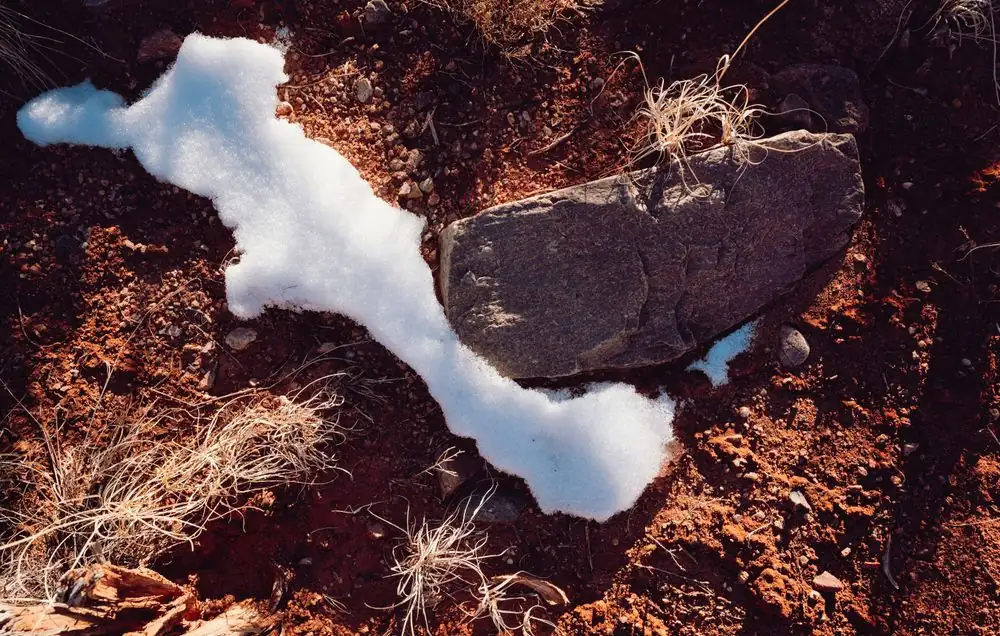
Photograph · source and license
The image, credit, reuse license, editorial context and delivered file are recorded in the exact Sites editorial review. This review is separate from the article’s canonical CIE assessment.
Image and publication standards →At a glance
- Coles Hill’s uranium concentration reflects several episodes in the history of its host rocks.
- Preserved cores supported later chemical analysis and a 2025 microscope-based data release.
- Virginia’s exploration framework and its bar on accepting mining-permit applications address different activities.
In this story
An unusual concentration in familiar country
Coles Hill is a Pittsylvania County place with a scientific identity that reaches well beyond Southside. USGS identifies it as the largest unmined uranium deposit in the United States.
For residents around Chatham and Gretna, the deposit belongs to the same county landscape as farms, roads and settlements. Its geological story, however, runs through rock formation, mountain building and continental breakup over hundreds of millions of years.
Uranium’s presence alone is not unusual. Virginia Energy explains that it occurs naturally in many minerals and is a trace constituent of common rock-forming minerals.
What makes a deposit distinctive is concentration. Geological processes have to gather an element into a particular place and mineral arrangement.
The regional landscape and the ore body are related, but they are not interchangeable descriptions of the ground.
The rock records several changes
A study by Susan Hall and colleagues, published in March 2022, places Coles Hill in the Martinsville igneous complex. Its host rocks include the Leatherwood Granite and Rich Acres Formation.
The authors describe later metamorphism during the Alleghanian mountain-building period, approximately 325 to 260 million years ago, along with movement on the Brookneal shear zone.
The Triassic brought another change: extension of the crust and development of the Dan River Basin east of Coles Hill. The study locates mineralization within brittle structures beside the Chatham fault, which forms the basin’s western boundary.
In that setting, fractures became places for uranium-bearing minerals and associated minerals to occur.
The authors’ model links uranium concentration to chemical alteration and mineralizing fluids during the broader period of rifting associated with the breakup of Pangea. This is an explanation of a sequence, not an image of a single underground pocket suddenly appearing.
The host rock, its fractures and the reactions involving fluids all contribute to the deposit’s history.
A model grows from several kinds of expertise
USGS describes the 2022 work as the first comprehensive genetic model for Coles Hill. In geology, genetic means an account of origin and formation; it does not mean DNA.
The research team included USGS scientists and expertise from the Virginia Museum of Natural History, Virginia Tech and Virginia Uranium. The agency says the findings can inform future resource assessments for similar deposit types in the southeastern United States.
The distinction between finding a deposit and explaining it matters here. Exploration can establish that an unusual concentration exists and help define its extent.
A formation model asks how it came to occupy those rocks and structures. That second question can remain active long after a place becomes part of public debate.
Coles Hill has therefore continued to be a research subject even without a producing mine.
Old cores can answer new questions
A 2015 USGS case study by Hall describes extensive earlier exploration, including 182 rotary holes and 74 core holes that defined North and South Coles Hill deposits. It also describes additional drilling in 2008.
The earlier Marline core was donated to the Virginia Museum of Natural History. Preserving that material created an archive of actual subsurface rock, not merely an archive of written descriptions.
A later USGS chemical dataset used 76 core samples and seven surface samples to compare variably mineralized rock with unmineralized examples of the same units. Its federal catalog record says USGS personnel sampled museum-held historic cores in 2017.
The selections reflected differences in radioactivity or visible alteration, fracturing and broken-rock textures.
This sampling design supports comparison rather than a claim that every piece of rock has the same chemistry. It also demonstrates the value of keeping specimens.
An archived core can be reconsidered with a new research question or analytical method, giving an old drilling campaign a scientific life beyond its original purpose.
A microscope adds another scale
On April 16, 2025, USGS released microanalysis records for 22 polished thin sections from Coles Hill material and a nearby host-rock sample. Researchers used a scanning electron microscope equipped with an energy-dispersive spectrometer to identify minerals and examine their relationships at high magnification.
The release includes images showing where particular analyses were made.
The sample labels preserve an important physical reference. USGS explains that a label such as 41-125-424 identifies the drill hole and a depth of 424 feet measured along that hole’s trace.
It is a location within a sampled core, not a claim that every deposit mineral sits at one uniform vertical depth.
The benefit of this scale is that the relationship between minerals becomes visible alongside their chemistry. The larger geological model has to fit those smaller observations.
For students in Southside, the pathway from landscape to core to thin section makes a tangible example of how geoscientists move between scales without treating one instrument as the whole investigation.
Extraction would create another material story
The Nuclear Regulatory Commission distinguishes uranium recovery from the ordinary presence of uranium-bearing rock. In conventional processing, mined ore is treated to concentrate uranium into a product commonly called yellowcake.
That product becomes a starting material for later stages of nuclear-fuel production. It is not a finished reactor fuel simply because it came from an ore body.
Processing also leaves waste. NRC describes mill tailings as sandy material that can contain heavy metals and radioactive radium.
Its rules address the hazards that those materials may pose. The scientific discussion therefore cannot end with the amount of uranium in a deposit.
The physical and chemical characteristics of material left behind would belong to the full life of any extraction project. These are general processing facts, not a statement that a particular mill exists at Coles Hill.
Research and permission have separate histories
Virginia Energy’s chronology describes the Commonwealth’s 1982 uranium-mining moratorium, renewed exploration permitting in 2007 and a multi-agency Uranium Working Group report in 2012. The current Code of Virginia, checked October 3, 2026, retains the condition that agencies cannot accept a uranium-mining permit application until a permitting program is established by statute.
The exploration article also provides a separate permit system for exploration drilling.
Those distinctions explain the continuing local conversation. A mineral study can add knowledge without authorizing extraction.
An exploration permit can allow investigation without being a mining permit. A geological resource can remain in the ground while scientists improve their understanding of it.
Coles Hill’s importance to Pittsylvania is therefore both physical and civic: a particular mineral history under the land, and a long record of decisions about what people may do with that knowledge.
Sources & verification
Official trace-element/mineral occurrence and policy chronology retrieved; used 1982, 2007 and 2012 events. Virginia Energy’s discovery year 1978 differs from 2015 USGS anomaly year 1979; no single precise discovery year asserted.
Read the sourceUSGS-hosted original-research abstract retrieved in full; host units, mountain-building interval, Chatham fault and rifting/mineralization model used. Full paywalled journal text not claimed reviewed.
Read the sourceAgency’s own research program account supports multidisciplinary 2022 model and regional-assessment purpose.
Read the sourceRetrieved case-study summary supports historical hole counts, north/south deposits, 2008 drilling and donation of Marline cores.
Read the sourceFederal catalog reproduces original USGS dataset metadata; supports 76 core/seven surface samples, 2017 sampling and selection purposes. Dataset values not independently reanalyzed.
Read the sourcePrimary data-release description supports 22 polished sections, SEM/EDS methods, spatial images and example drill-hole/depth label. Individual image files not opened.
Read the sourceOfficial indexed content supports yellowcake as initial fuel-cycle material; source retrieved through search, with some NRC page opens blocked.
Read the sourceOfficial indexed text supports sandy waste, heavy metals/radium and regulatory hazard management; full open returned 403, so no detailed disposal requirements claimed.
Read the sourceCurrent official code retrieved October 3, 2026; distinguishes exploration permit from statutory condition for accepting uranium-mining applications. No legal recommendation made.
Read the sourceThis article was written with AI assistance from the linked sources. No firsthand interview or visit is implied. Source dates and limits are identified in the reporting. Advertising does not determine editorial coverage. Request a correction or read our standards.
EVERY NEIGHBOR HAS A VOICE
Keep the conversation going.
Share experiences, ask questions and link evidence for factual claims. Automated publication checks apply to each submitted version. Comments are independent community discussion, not submissions to a government body.
Sign in to join · freeCommunity standards