Service guide Life · County
A listing, a parcel map and a tax assessment answer different questions
A practical route through Pittsylvania County’s property tools, with a clear distinction between an advertised home, a mapped parcel and the record used for assessment.
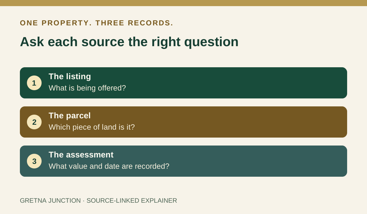
Image provenance · CIE 100/100
Assessment applies to the credited image record and its editorial context. Image delivery and the pictured event’s current status are not certified by a score. Receipt: 62051368-d62f-40c6-8058-dc4d0b08df58
Image & publication standards →At a glance
- Confirm current sale or rental availability with the original listing provider.
- Use the county’s GIS and real-estate records to investigate the parcel.
- Keep assessment dates separate from an asking price or a future tax bill.
In this story
Start with one address and three questions
A promising house can appear in several places at once: a sales website, a county map and an assessment record. Each can be useful, but they are doing different jobs.
For someone searching around Gretna, the first task is to write down the exact address and ask which question each record can actually answer.
The listing is where you ask whether the property is being offered, what the current asking terms are and whom to contact. The map helps you locate a parcel.
The assessment record helps you understand the county’s recorded information. None of those views, on its own, settles every question about a purchase, a lease or permission to use the land.
Follow the county’s own route
Pittsylvania County’s Maps & GIS page links to its newer GIS platform, an open-data portal and its Real Estate Data service. It directs ownership and assessment questions to the Commissioner of the Revenue, and address, zoning and permit questions to Community Development.
That routing is more useful than guessing which office handles an unfamiliar field.
Open the tools from the county page and keep the parcel identifier alongside the address in your notes. If two records appear inconsistent, save the source and the date you viewed it, then ask the appropriate office about the discrepancy.
A mailing address, a marketing description and a parcel boundary are not interchangeable ways of identifying the same thing.
Keep the date attached to the value
The county’s current reassessment page says the next general reassessment values will take effect January 1, 2028. It also distinguishes assessed value from the tax bill: the assessment and the rate adopted by the governing body are separate parts of the calculation.
A number copied from a listing should not quietly become an estimate of someone’s future county bill.
A useful comparison sheet therefore needs separate columns for the asking price, the recorded assessed value and the dates attached to each. Leave a field blank when it has not been verified.
If an advertisement describes improvements or acreage differently from a public record, make that a follow-up question rather than choosing whichever number looks better.
Use the record to ask a better question
The county’s public-access disclaimer says its online information should not replace official sources or serve as the exclusive basis for a decision. Treat a successful search as the beginning of verification.
It does not confirm a seller’s authority, guarantee that a home is available, or establish that a planned use is permitted.
Before arranging the next step, gather a small file: the original listing link, the parcel reference, dated notes, and the questions still unanswered. Ask for current written answers about the particular property.
Keep sensitive identity and financial documents out of a public inquiry. The goal is a shorter, clearer conversation with the people responsible for the record and the transaction.
Cultural & community review
Assessment passed This recorded version passed its cultural and community assessment.
- Reviews the cultural and community context of this editorial item.
- Source, rights and publisher checks remain separate.
- It does not score people or certify every fact.
Read the assessment record & limits
- This record applies to the identified content revision. Later changes require another assessment.
- Asset
- gj:article:gj26-property-listing-parcel-assessment-questions
- Engine
- ct.algorithm.cie.v1 · 1.0.1
- Receipt
- 2ecc5497-8e88-4bbe-b55e-45ac5a359e01
- Assessed
- Revision
- sha256-051926fd6633244d432dbc17cd5063fd5f788a0d9245969593bf09c11d7f4ed7
- Record state
- eligible · PASS
- Binding
- BOUND
Sources & verification
Primary county directory of GIS and real-estate tools and department responsibilities; page publication date not shown. Checked September 19, 2026.
Read the sourceOfficial public-access landing page and accuracy/use disclaimer. Landing page dated September 19, 2026; no individual parcel ownership asserted.
Read the sourceCurrent county explanation identifies January 1, 2028 effective date and distinguishes assessment from tax bill. Publication timestamp not shown. Checked September 19, 2026. AI-assisted source research; no interview or individual valuation claimed.
Read the sourceThis article was written with AI assistance from the linked sources. No firsthand interview or visit is implied. Source dates and limits are identified in the reporting. Advertising does not determine editorial coverage. Request a correction or read our standards.
EVERY NEIGHBOR HAS A VOICE
Keep the conversation going.
Share experiences, ask questions and link evidence for factual claims. Automated checks assess each version; posts that pass publish immediately with their CIE score and reasons. Comments are independent community discussion, not submissions to a government body.
Sign in to join · freeCommunity standards